How do astronomers create three-dimensional maps of the universe? This question sparks an intellectual journey into the realm of astrophysics, where scientists unravel the cosmos’s intricate tapestry. By meticulously collecting and analyzing data, astronomers construct these maps, revealing the distribution and structure of celestial objects, unlocking secrets about the universe’s evolution and composition.
The quest to map the universe begins with data collection. Telescopes and other instruments capture images, spectra, and redshift measurements, providing raw materials for analysis. Advanced techniques clean and process this data, extracting valuable information about astronomical objects’ properties.
Data Collection

Astronomers gather data from a variety of telescopes and instruments to create three-dimensional maps of the universe. These include:
- Optical telescopes collect light in the visible spectrum, providing images and information about the brightness and color of astronomical objects.
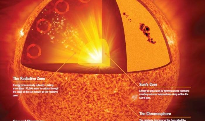
- Radio telescopes collect radio waves, allowing astronomers to study objects that emit radio waves, such as galaxies and quasars.
- X-ray telescopes detect X-rays, revealing information about hot and energetic objects, such as black holes and supernovae.
The data collected from these instruments includes images, spectra, and redshift measurements. Spectra provide information about the chemical composition and temperature of astronomical objects, while redshift measurements indicate their distance and velocity.
Data Processing
Once the data is collected, it must be processed to remove noise and other artifacts. This is done using a variety of techniques, including:
- Background subtraction removes unwanted background noise from images.
- Flat-field correction corrects for variations in the sensitivity of the telescope.
- Cosmic ray removal eliminates cosmic rays from images.
Once the data is cleaned, it can be analyzed using a variety of algorithms and software to extract information about the astronomical objects.
Distance Measurement
Determining the distances to astronomical objects is crucial for creating three-dimensional maps of the universe. Several methods are used to measure distances, including:
- Parallax is a geometric method that uses the Earth’s orbit around the Sun to measure the distances to nearby stars.
- Spectroscopic redshift measures the shift in the wavelength of light from astronomical objects due to their motion away from us, providing information about their distance and velocity.
- Supernova brightness measurements use the observed brightness of supernovae to estimate their distances.
Positional Mapping
Once the distances to astronomical objects are known, astronomers can use this information along with angles to create two-dimensional maps of the universe. These maps show the positions of astronomical objects on the sky, but they do not provide information about their distances from us.
Two-dimensional mapping is limited because it does not provide a complete picture of the universe’s structure. It is difficult to determine the true distances between objects and to identify structures that extend in three dimensions.
Redshift Surveys
Redshift surveys play a crucial role in creating three-dimensional maps of the universe. They measure the redshift of a large number of astronomical objects, providing information about their distances and velocities.
By combining redshift measurements with positional data, astronomers can create three-dimensional maps that show the distribution of astronomical objects in space. These maps reveal the large-scale structure of the universe, including galaxy clusters, superclusters, and voids.
Clustering and Structure

Astronomers use statistical methods to identify clusters and structures in the universe. These methods involve analyzing the distribution of astronomical objects and looking for patterns that indicate the presence of structure.
Examples of clusters and structures include:
- Galaxy clusters are groups of hundreds to thousands of galaxies bound together by gravity.
- Superclusters are clusters of galaxy clusters, forming even larger structures.
- Large-scale structures are vast filaments and voids that span billions of light-years.
Visualization and Representation

Three-dimensional maps of the universe are often visualized using interactive simulations and virtual reality. These technologies allow astronomers to explore the universe in an immersive way, gaining a better understanding of its structure and evolution.
Other methods of visualization include:
- Color-coded maps show the distribution of astronomical objects based on their properties, such as redshift or brightness.
- Density maps show the concentration of astronomical objects in different regions of the universe.
- Animations show the evolution of the universe over time.
FAQ Guide: How Do Astronomers Create Three-dimensional Maps Of The Universe
How do astronomers determine the distances to astronomical objects?
Astronomers use various methods to measure distances, including parallax, spectroscopic redshift, and supernova brightness measurements.
What is the role of redshift surveys in creating three-dimensional maps of the universe?
Redshift surveys provide information about the distance and velocity of astronomical objects, allowing astronomers to map their positions in three-dimensional space.